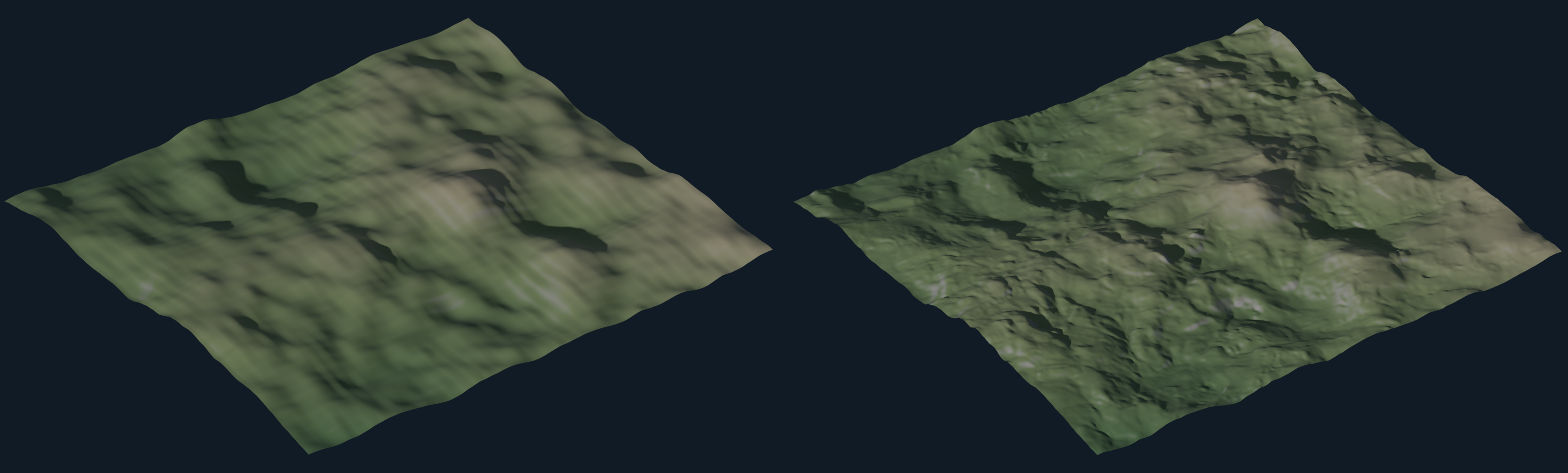
This is a model that I made for a historical game. I wanted to have a 1:1 scale model of Europe, but my problem was that 100m data was too low-res while 10m LIDAR data was patchy, took hundreds of GBs to store and was full of manmade objects like mines, buildings and so on.
I trained this model on undeveloped landscape so that it can quickly add plausible erosion features, rocks, etc to the low-resolution height data and sort of reconstruct what the terrain would look like before any human interference.
dvt2 days ago
On my phone but very interested in this (hence leaving a comment so I can find it later). What’s the variation, can we generate different maps from the same low res seed?
I’m interested in this because “macro maps” can be hand built in a way that may want to preserve gameplay balance while individual games can still feel broadly unique.
joegibbsop2 days ago
Thank you! Yes as well as the input image you can pass in a seed value (otherwise the result is deterministic). I hadn't tried it with pure noise rather than satellite data but it does pretty well: https://jgibbs.dev/assets/terrainsr-noise.png